Path and cycle track from Forgeside to Blaenavon
Introduction
The photograph on this page of Path and cycle track from Forgeside to Blaenavon by Jaggery as part of the Geograph project.
The Geograph project started in 2005 with the aim of publishing, organising and preserving representative images for every square kilometre of Great Britain, Ireland and the Isle of Man.

There are currently over 7.5m images from over 14,400 individuals and you can help contribute to the project by visiting https://www.geograph.org.uk
Path and cycle track from Forgeside to Blaenavon
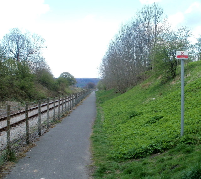
Image: © Jaggery Taken: 15 Apr 2011
The path and cycle track here run parallel with the single track of the heritage Pontypool and Blaenavon Railway. Blaenavon (High Level) station is about 600 metres from the camera, ahead.
Images are licensed for reuse under creativecommons.org/licenses/by-sa/2.0
Image Location
Latitude
51.770103
Longitude
-3.091214