Minor track in Higher Sandygate
Introduction
The photograph on this page of Minor track in Higher Sandygate by David Smith as part of the Geograph project.
The Geograph project started in 2005 with the aim of publishing, organising and preserving representative images for every square kilometre of Great Britain, Ireland and the Isle of Man.

There are currently over 7.5m images from over 14,400 individuals and you can help contribute to the project by visiting https://www.geograph.org.uk
Minor track in Higher Sandygate
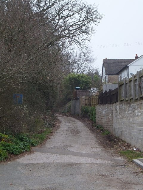
Image: © David Smith Taken: 13 Mar 2012
This cul-de-sac is aligned with the road through Higher Sandygate; the latter is marked as a Roman Road; was this also part of it?
Images are licensed for reuse under creativecommons.org/licenses/by-sa/2.0
Image Location
Latitude
50.566827
Longitude
-3.598479