Derelict homestead on the Turmore Road
Introduction
The photograph on this page of Derelict homestead on the Turmore Road by Eric Jones as part of the Geograph project.
The Geograph project started in 2005 with the aim of publishing, organising and preserving representative images for every square kilometre of Great Britain, Ireland and the Isle of Man.

There are currently over 7.5m images from over 14,400 individuals and you can help contribute to the project by visiting https://www.geograph.org.uk
Derelict homestead on the Turmore Road
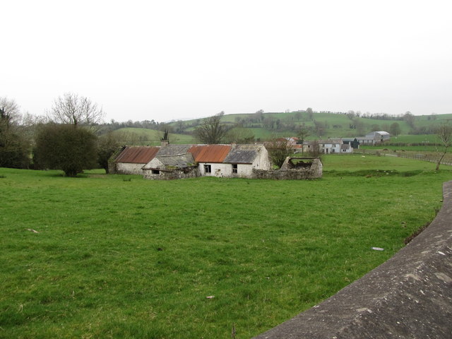
Image: © Eric Jones Taken: 13 Mar 2012
The land slopes down towards the Clanrye River which here flows northwards
Images are licensed for reuse under creativecommons.org/licenses/by-sa/2.0
Image Location
Latitude
54.214937
Longitude
-6.30569