River Irwell, Radcliffe
Introduction
The photograph on this page of River Irwell, Radcliffe by David Dixon as part of the Geograph project.
The Geograph project started in 2005 with the aim of publishing, organising and preserving representative images for every square kilometre of Great Britain, Ireland and the Isle of Man.

There are currently over 7.5m images from over 14,400 individuals and you can help contribute to the project by visiting https://www.geograph.org.uk
River Irwell, Radcliffe
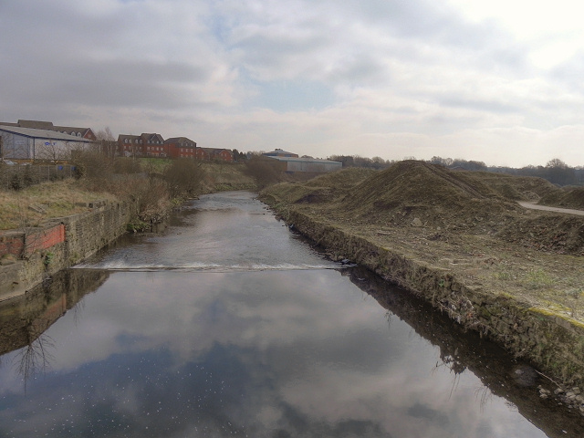
Image: © David Dixon Taken: 13 Mar 2012
Looking downstream from Hardy's Gate Bridge. The land on the right hand side (west bank) of the river has been cleared ready for development as the "Bury South Business Park".
Images are licensed for reuse under creativecommons.org/licenses/by-sa/2.0
Image Location
Latitude
53.57183
Longitude
-2.298955