Trail sign post in Hughenden Valley
Introduction
The photograph on this page of Trail sign post in Hughenden Valley by Rob Emms as part of the Geograph project.
The Geograph project started in 2005 with the aim of publishing, organising and preserving representative images for every square kilometre of Great Britain, Ireland and the Isle of Man.

There are currently over 7.5m images from over 14,400 individuals and you can help contribute to the project by visiting https://www.geograph.org.uk
Trail sign post in Hughenden Valley
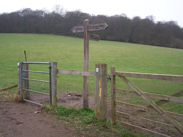
Image: © Rob Emms Taken: 13 Mar 2012
Halfway between Downley and Hughenden Manor. Farmland belonging to Manor Farm, with Common Wood in the distance.
Images are licensed for reuse under creativecommons.org/licenses/by-sa/2.0
Image Location
Latitude
51.651611
Longitude
-0.764677