Field Erosion
Introduction
The photograph on this page of Field Erosion by wfmillar as part of the Geograph project.
The Geograph project started in 2005 with the aim of publishing, organising and preserving representative images for every square kilometre of Great Britain, Ireland and the Isle of Man.

There are currently over 7.5m images from over 14,400 individuals and you can help contribute to the project by visiting https://www.geograph.org.uk
Field Erosion
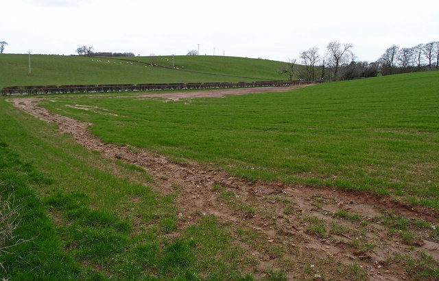
Image: © wfmillar Taken: 12 Mar 2012
Looks like water has caused this damage to the field. B730 at the bottom of field.
Images are licensed for reuse under creativecommons.org/licenses/by-sa/2.0
Image Location


Leaflet Map data © OpenStreetMap
Latitude
55.472065
Longitude
-4.470935