Armada Place
Introduction
The photograph on this page of Armada Place by HelenK as part of the Geograph project.
The Geograph project started in 2005 with the aim of publishing, organising and preserving representative images for every square kilometre of Great Britain, Ireland and the Isle of Man.

There are currently over 7.5m images from over 14,400 individuals and you can help contribute to the project by visiting https://www.geograph.org.uk
Armada Place
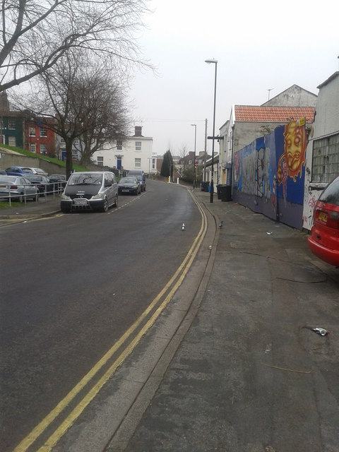
Image: © HelenK Taken: 13 Mar 2012
The mix of run-down 20th century buildings and elegant 18th century ones is characteristic of the area, as is the vibrant graffiti.
Images are licensed for reuse under creativecommons.org/licenses/by-sa/2.0
Image Location
Latitude
51.463931
Longitude
-2.590716