Retail and commercial units along St Anne's Road
Introduction
The photograph on this page of Retail and commercial units along St Anne's Road by Neil Owen as part of the Geograph project.
The Geograph project started in 2005 with the aim of publishing, organising and preserving representative images for every square kilometre of Great Britain, Ireland and the Isle of Man.

There are currently over 7.5m images from over 14,400 individuals and you can help contribute to the project by visiting https://www.geograph.org.uk
Retail and commercial units along St Anne's Road
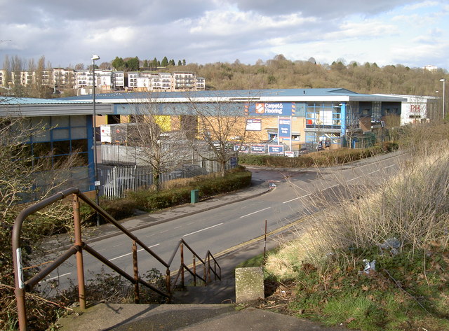
Image: © Neil Owen Taken: 7 Mar 2012
The typical trading estate mix of offices and industrial units, beyond which are the modern flats of Weavers Mill Close.
Images are licensed for reuse under creativecommons.org/licenses/by-sa/2.0
Image Location
Latitude
51.452262
Longitude
-2.549694