Lugar Water , Ochiltree
Introduction
The photograph on this page of Lugar Water , Ochiltree by wfmillar as part of the Geograph project.
The Geograph project started in 2005 with the aim of publishing, organising and preserving representative images for every square kilometre of Great Britain, Ireland and the Isle of Man.

There are currently over 7.5m images from over 14,400 individuals and you can help contribute to the project by visiting https://www.geograph.org.uk
Lugar Water , Ochiltree
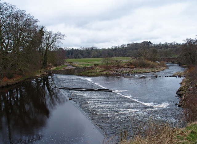
Image: © wfmillar Taken: 12 Mar 2012
Looking downstream to the old Lugar Bridge. Notice the fish ladder in the middle of the weir.
Images are licensed for reuse under creativecommons.org/licenses/by-sa/2.0
Image Location
Latitude
55.462633
Longitude
-4.356759