Through the works [3]
Introduction
The photograph on this page of Through the works [3] by Michael Dibb as part of the Geograph project.
The Geograph project started in 2005 with the aim of publishing, organising and preserving representative images for every square kilometre of Great Britain, Ireland and the Isle of Man.

There are currently over 7.5m images from over 14,400 individuals and you can help contribute to the project by visiting https://www.geograph.org.uk
Through the works [3]
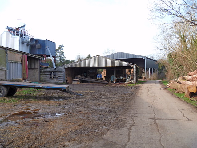
Image: © Michael Dibb Taken: 22 Jan 2012
The site of the former Ettington Station on the long dismantled Stratford and Midland Junction Railway is shown on the OS 1:25,000 map as 'works' and is a mixture of dwellings and farm and other works buildings. Here the footpath follows the concrete drive.
Images are licensed for reuse under creativecommons.org/licenses/by-sa/2.0
Image Location


Leaflet Map data © OpenStreetMap
Latitude
52.149879
Longitude
-1.606665