Rear of Miller's Farm, Ninfield
Introduction
The photograph on this page of Rear of Miller's Farm, Ninfield by Frances Bertha Reynolds as part of the Geograph project.
The Geograph project started in 2005 with the aim of publishing, organising and preserving representative images for every square kilometre of Great Britain, Ireland and the Isle of Man.

There are currently over 7.5m images from over 14,400 individuals and you can help contribute to the project by visiting https://www.geograph.org.uk
Rear of Miller's Farm, Ninfield
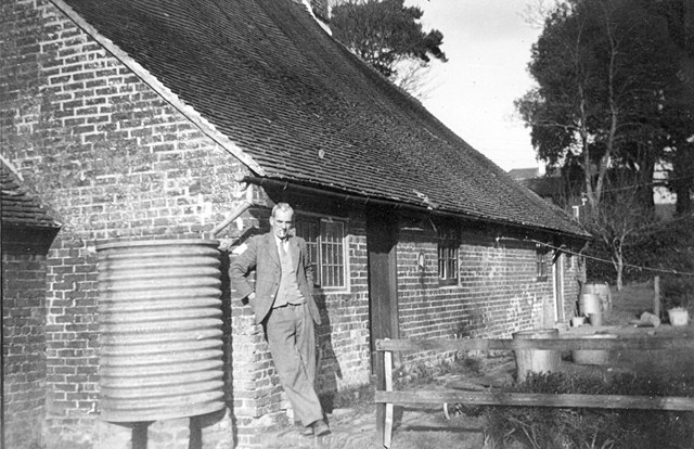
Image: © Frances Bertha Reynolds Taken: Unknown
The rear of the farm was one large open plan lean-to. The picture shows the farmer, Henry Jacob Finch (Jack) Reynolds. See Image
Images are licensed for reuse under creativecommons.org/licenses/by-sa/2.0
Image Location
Latitude
50.873045
Longitude
0.415103