Derelict farm in Kneeton
Introduction
The photograph on this page of Derelict farm in Kneeton by Jonathan Thacker as part of the Geograph project.
The Geograph project started in 2005 with the aim of publishing, organising and preserving representative images for every square kilometre of Great Britain, Ireland and the Isle of Man.

There are currently over 7.5m images from over 14,400 individuals and you can help contribute to the project by visiting https://www.geograph.org.uk
Derelict farm in Kneeton
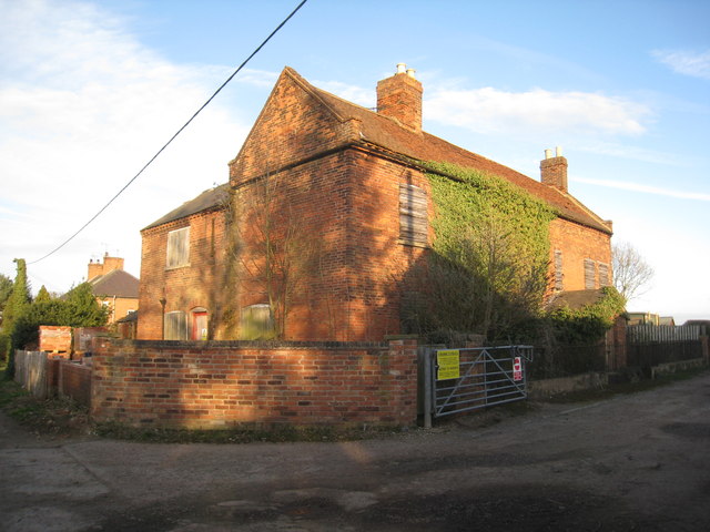
Image: © Jonathan Thacker Taken: 9 Mar 2012
Looks to be a typical example of an early nineteenth century Nottinghamshire farmhouse.
Images are licensed for reuse under creativecommons.org/licenses/by-sa/2.0
Image Location
Latitude
53.007496
Longitude
-0.941236