Ropers Lane, near Hoo St Werburgh
Introduction
The photograph on this page of Ropers Lane, near Hoo St Werburgh by David Kemp as part of the Geograph project.
The Geograph project started in 2005 with the aim of publishing, organising and preserving representative images for every square kilometre of Great Britain, Ireland and the Isle of Man.

There are currently over 7.5m images from over 14,400 individuals and you can help contribute to the project by visiting https://www.geograph.org.uk
Ropers Lane, near Hoo St Werburgh
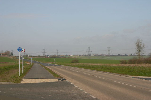
Image: © David Kemp Taken: 10 Mar 2012
Taken at the junction with Ropers Green Lane (right) and looking towards Ratcliffe Highway. The houses along the ridge are at High Halstow. Away from the marshes, most of the Hoo Peninsula looks like this.
Images are licensed for reuse under creativecommons.org/licenses/by-sa/2.0
Image Location
Latitude
51.433834
Longitude
0.570036