Nottingham - Bagthorpe
Introduction
The photograph on this page of Nottingham - Bagthorpe by David Hallam-Jones as part of the Geograph project.
The Geograph project started in 2005 with the aim of publishing, organising and preserving representative images for every square kilometre of Great Britain, Ireland and the Isle of Man.

There are currently over 7.5m images from over 14,400 individuals and you can help contribute to the project by visiting https://www.geograph.org.uk
Nottingham - Bagthorpe
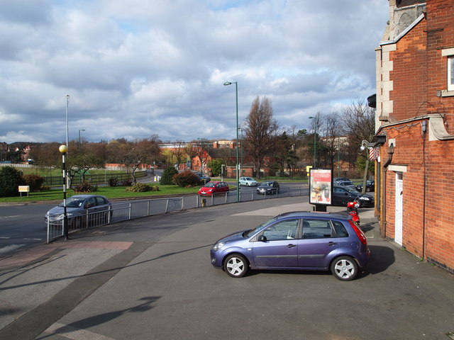
Image: © David Hallam-Jones Taken: 10 Mar 2012
Part of the long established shopping centre that has developed around the Hucknall Rd/Valley Rd roundabout near to The City Hospital - seen beyond the tree line. This part of Nottingham lies in Sherwood (local government) Ward.
Images are licensed for reuse under creativecommons.org/licenses/by-sa/2.0
Image Location
Latitude
52.986763
Longitude
-1.15923