Nottingham - Bagthorpe area
Introduction
The photograph on this page of Nottingham - Bagthorpe area by David Hallam-Jones as part of the Geograph project.
The Geograph project started in 2005 with the aim of publishing, organising and preserving representative images for every square kilometre of Great Britain, Ireland and the Isle of Man.

There are currently over 7.5m images from over 14,400 individuals and you can help contribute to the project by visiting https://www.geograph.org.uk
Nottingham - Bagthorpe area
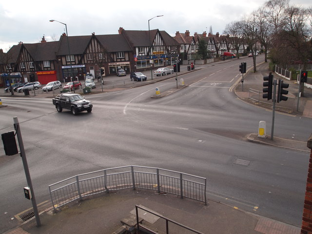
Image: © David Hallam-Jones Taken: 10 Mar 2012
The Perry Rd/Hucknall Rd junction viewed from the HMP Nottingham staff car park. The red van parked in Perry Rd and the area behind the parade of shops are part of the Berridge (local government) ward, whereas the area in the foreground sits within Sherwood ward.
Images are licensed for reuse under creativecommons.org/licenses/by-sa/2.0
Image Location
Latitude
52.98352
Longitude
-1.15825