SE corner of Graig Park Circle, Malpas, Newport
Introduction
The photograph on this page of SE corner of Graig Park Circle, Malpas, Newport by Jaggery as part of the Geograph project.
The Geograph project started in 2005 with the aim of publishing, organising and preserving representative images for every square kilometre of Great Britain, Ireland and the Isle of Man.

There are currently over 7.5m images from over 14,400 individuals and you can help contribute to the project by visiting https://www.geograph.org.uk
SE corner of Graig Park Circle, Malpas, Newport
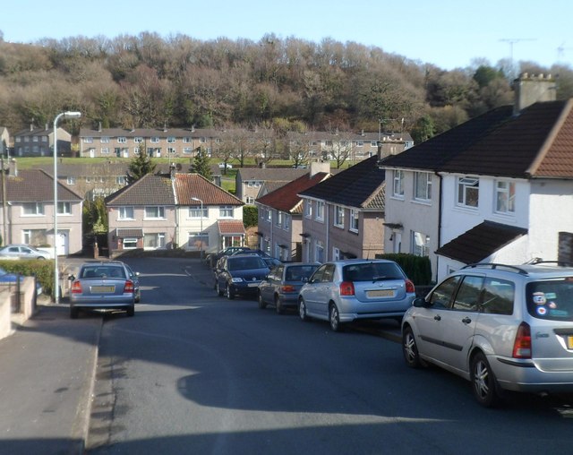
Image: © Jaggery Taken: 10 Mar 2012
"Circle" is not the best choice of name for this residential road, the course of which is much closer to a rectangle than a circle. Ahead is a 90-degree bend in the road. Houses in the Graig Park area, between Malpas Road and Graig Wood, were built c1930. In the background are houses in Graig Wood Close.
Images are licensed for reuse under creativecommons.org/licenses/by-sa/2.0
Image Location
Latitude
51.606316
Longitude
-3.006416