The old north Deeside road at Kennerty
Introduction
The photograph on this page of The old north Deeside road at Kennerty by Alan Findlay as part of the Geograph project.
The Geograph project started in 2005 with the aim of publishing, organising and preserving representative images for every square kilometre of Great Britain, Ireland and the Isle of Man.

There are currently over 7.5m images from over 14,400 individuals and you can help contribute to the project by visiting https://www.geograph.org.uk
The old north Deeside road at Kennerty
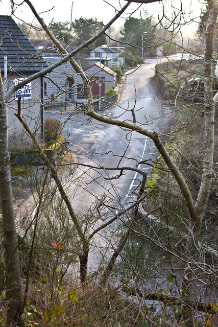
Image: © Alan Findlay Taken: 30 Jan 2012
The building on the left with the sign was the location of the old smiddy, Kennerty farm is over the hill on the right, link to Image
Images are licensed for reuse under creativecommons.org/licenses/by-sa/2.0
Image Location
Latitude
57.095006
Longitude
-2.273604