Tayport harbour
Introduction
The photograph on this page of Tayport harbour by James Allan as part of the Geograph project.
The Geograph project started in 2005 with the aim of publishing, organising and preserving representative images for every square kilometre of Great Britain, Ireland and the Isle of Man.

There are currently over 7.5m images from over 14,400 individuals and you can help contribute to the project by visiting https://www.geograph.org.uk
Tayport harbour
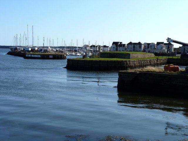
Image: © James Allan Taken: 5 Mar 2012
An alternative name shown on road signs for Tayport is 'Ferryport-on-Craig'. Since a ferry ran for years between here and Broughty Ferry on the north of the Firth of Tay, that seems a very logical name. But its derivation is more complex. Early 13th century documents show it as 'Partan Craig' (Gaelic for 'Crab Rock') which had been corrupted by English usage into Portincragge by 1415 and again into Port-in-Craige by the end of that century.
Images are licensed for reuse under creativecommons.org/licenses/by-sa/2.0
Image Location
Latitude
56.45191
Longitude
-2.882375