Pinehurst Road West Moors - Shops A31 end
Introduction
The photograph on this page of Pinehurst Road West Moors - Shops A31 end by Martin Rowley as part of the Geograph project.
The Geograph project started in 2005 with the aim of publishing, organising and preserving representative images for every square kilometre of Great Britain, Ireland and the Isle of Man.

There are currently over 7.5m images from over 14,400 individuals and you can help contribute to the project by visiting https://www.geograph.org.uk
Pinehurst Road West Moors - Shops A31 end
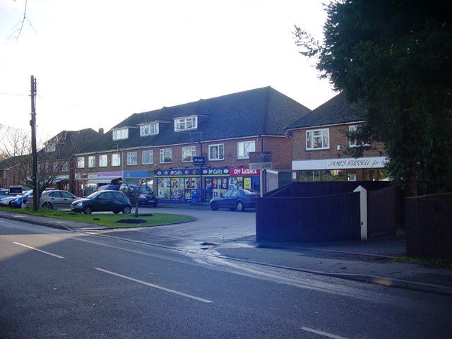
Image: © Martin Rowley Taken: 16 Dec 2011
This view of the 'Ringwood Road/A31' end of Pinehurst Road, West Moors shows the other end of the access road and takes in (just) all the shop units on this parade. These shops serve two purposes - (a) act as a local shopping area for the area of West Moors that developed since the Second World War well away from the old village centre and (b) captures passing trade on the A31.
Images are licensed for reuse under creativecommons.org/licenses/by-sa/2.0
Image Location
Latitude
50.815586
Longitude
-1.870636