Holcombe Lane
Introduction
The photograph on this page of Holcombe Lane by Maigheach-gheal as part of the Geograph project.
The Geograph project started in 2005 with the aim of publishing, organising and preserving representative images for every square kilometre of Great Britain, Ireland and the Isle of Man.

There are currently over 7.5m images from over 14,400 individuals and you can help contribute to the project by visiting https://www.geograph.org.uk
Holcombe Lane
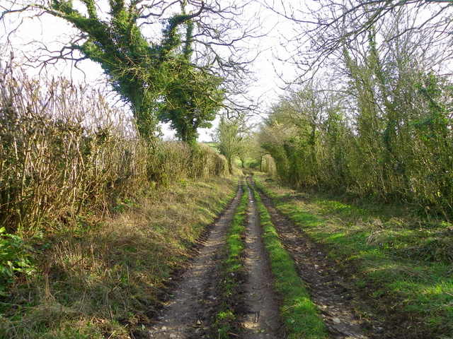
Image: © Maigheach-gheal Taken: 7 Mar 2012
The track, known as Holcombe Lane heads from Brottons Road to Maesdown Hill.
Images are licensed for reuse under creativecommons.org/licenses/by-sa/2.0
Image Location
Latitude
51.177723
Longitude
-2.493348