Reclaimed opencast
Introduction
The photograph on this page of Reclaimed opencast by Richard Webb as part of the Geograph project.
The Geograph project started in 2005 with the aim of publishing, organising and preserving representative images for every square kilometre of Great Britain, Ireland and the Isle of Man.

There are currently over 7.5m images from over 14,400 individuals and you can help contribute to the project by visiting https://www.geograph.org.uk
Reclaimed opencast
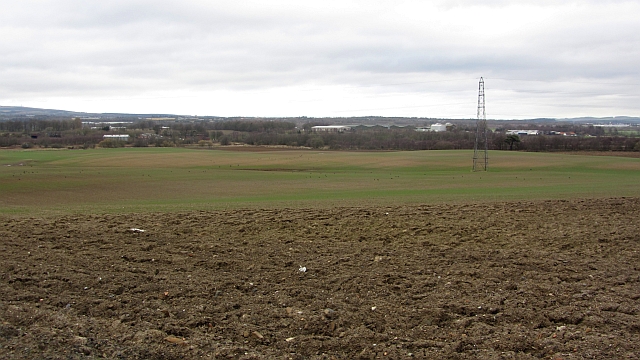
Image: © Richard Webb Taken: 9 Mar 2012
Former coal mine, now arable land. The road on the map from Redford Bridge no longer exists and there is now a track around the field, beside the Ore to opposite Fosterton and then up the side of a hedge to here where the mapped road ends/begins.
Images are licensed for reuse under creativecommons.org/licenses/by-sa/2.0
Image Location
Latitude
56.153224
Longitude
-3.187176