Green Belt, Chessington
Introduction
The photograph on this page of Green Belt, Chessington by Colin Smith as part of the Geograph project.
The Geograph project started in 2005 with the aim of publishing, organising and preserving representative images for every square kilometre of Great Britain, Ireland and the Isle of Man.

There are currently over 7.5m images from over 14,400 individuals and you can help contribute to the project by visiting https://www.geograph.org.uk
Green Belt, Chessington
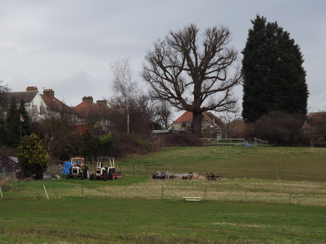
Image: © Colin Smith Taken: 9 Mar 2012
Green fields abut the Greater London sprawl at Chessington, part of the London borough of Kingston-Upon-Thames. The belt here separates the Great Wen from the next sprawl - Epsom & Ewell.
Images are licensed for reuse under creativecommons.org/licenses/by-sa/2.0
Image Location
Latitude
51.356746
Longitude
-0.296948