Clapham pathways
Introduction
The photograph on this page of Clapham pathways by Chris Shaw as part of the Geograph project.
The Geograph project started in 2005 with the aim of publishing, organising and preserving representative images for every square kilometre of Great Britain, Ireland and the Isle of Man.

There are currently over 7.5m images from over 14,400 individuals and you can help contribute to the project by visiting https://www.geograph.org.uk
Clapham pathways
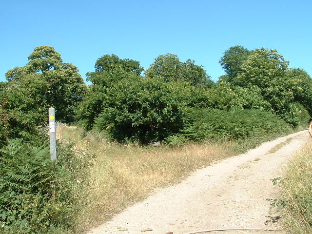
Image: © Chris Shaw Taken: Unknown
Track and path junction in the NW of the square with a small group of young oaks planted in memory of Bert Searle.
Images are licensed for reuse under creativecommons.org/licenses/by-sa/2.0
Image Location


Leaflet Map data © OpenStreetMap
Latitude
50.847478
Longitude
-0.43176