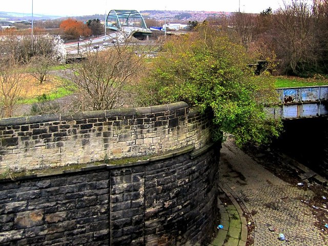
Disused railway north of Scotswood Bridge
Introduction
The photograph on this page of Disused railway north of Scotswood Bridge by Andrew Curtis as part of the Geograph project.
The Geograph project started in 2005 with the aim of publishing, organising and preserving representative images for every square kilometre of Great Britain, Ireland and the Isle of Man.
There are currently over 7.5m images from over 14,400 individuals and you can help contribute to the project by visiting https://www.geograph.org.uk

Image: © Andrew Curtis Taken: 8 Mar 2012
Taken from Whitfield Road, now cleared of houses for redevelopment, looking down on the cobbled lane shown on a 1950 plan as 'Scotswood Station Approach'. The bridge in the foreground takes the lane under the disused line of the Scotswood, Newburn & Wylam Railway just east of the tunnel Image There is a photo from the other side here Image Just beyond this bridge, the lane also passes under the disused line of the Newcastle & Carlisle Railway, on its former route to the Scotswood Railway Bridge. This line is now a cycleway. Both platforms of Scotswood Railway Station were once accessed by steps on its west side. Disused Stations - Scotswood: http://www.disused-stations.org.uk/s/scotswood/index7.shtml

