Thatched cottages
Introduction
The photograph on this page of Thatched cottages by Michael Dibb as part of the Geograph project.
The Geograph project started in 2005 with the aim of publishing, organising and preserving representative images for every square kilometre of Great Britain, Ireland and the Isle of Man.

There are currently over 7.5m images from over 14,400 individuals and you can help contribute to the project by visiting https://www.geograph.org.uk
Thatched cottages
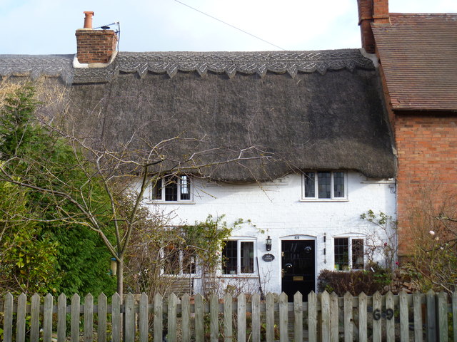
Image: © Michael Dibb Taken: 22 Jan 2012
Nos 67 and 69 (Rose Cottage) probably date back to the early 18th century. They are listed grade II and more details are at: http://www.britishlistedbuildings.co.uk/en-482960-67-and-69-ettington
Images are licensed for reuse under creativecommons.org/licenses/by-sa/2.0
Image Location
Latitude
52.136383
Longitude
-1.603716