Mid Devon : Aldridge Mill Farm
Introduction
The photograph on this page of Mid Devon : Aldridge Mill Farm by Lewis Clarke as part of the Geograph project.
The Geograph project started in 2005 with the aim of publishing, organising and preserving representative images for every square kilometre of Great Britain, Ireland and the Isle of Man.

There are currently over 7.5m images from over 14,400 individuals and you can help contribute to the project by visiting https://www.geograph.org.uk
Mid Devon : Aldridge Mill Farm
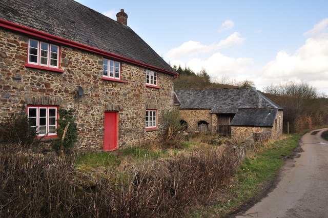
Image: © Lewis Clarke Taken: 7 Mar 2012
Circa early to mid C19. Stone rubble; slate roof, gabled at ends; end stacks with brick shafts. It was formerly a mill but the machinery no longer exists. Forms a good group on the roadside with the adjacent farmbuildings.
Images are licensed for reuse under creativecommons.org/licenses/by-sa/2.0
Image Location
Latitude
50.969411
Longitude
-3.56868