Houses on Lower Road, Hextable
Introduction
The photograph on this page of Houses on Lower Road, Hextable by Robin Webster as part of the Geograph project.
The Geograph project started in 2005 with the aim of publishing, organising and preserving representative images for every square kilometre of Great Britain, Ireland and the Isle of Man.

There are currently over 7.5m images from over 14,400 individuals and you can help contribute to the project by visiting https://www.geograph.org.uk
Houses on Lower Road, Hextable
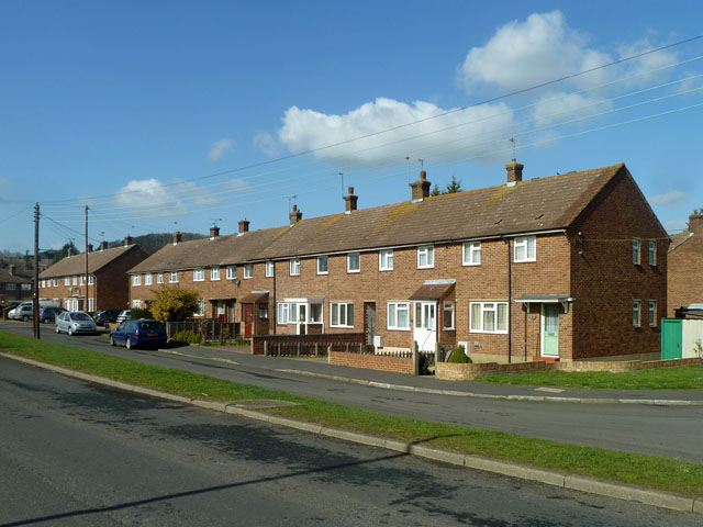
Image: © Robin Webster Taken: 8 Mar 2012
These are actually on a residential road parallel with the foreground Lower Road, but it seems to have the same name.
Images are licensed for reuse under creativecommons.org/licenses/by-sa/2.0
Image Location
Latitude
51.413085
Longitude
0.19265