St Leonard's Church, Exeter
Introduction
The photograph on this page of St Leonard's Church, Exeter by Derek Harper as part of the Geograph project.
The Geograph project started in 2005 with the aim of publishing, organising and preserving representative images for every square kilometre of Great Britain, Ireland and the Isle of Man.

There are currently over 7.5m images from over 14,400 individuals and you can help contribute to the project by visiting https://www.geograph.org.uk
St Leonard's Church, Exeter
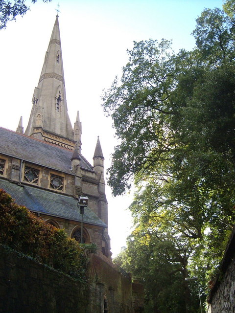
Image: © Derek Harper Taken: 21 Nov 2006
The church seen in Image, from Larkbeare Road, a narrow lane which runs from Topsham Road down to the River Exe at the Port Royal pub.
Images are licensed for reuse under creativecommons.org/licenses/by-sa/2.0
Image Location
Latitude
50.716737
Longitude
-3.525521