Road to Threlkeld
Introduction
The photograph on this page of Road to Threlkeld by Jim Barton as part of the Geograph project.
The Geograph project started in 2005 with the aim of publishing, organising and preserving representative images for every square kilometre of Great Britain, Ireland and the Isle of Man.

There are currently over 7.5m images from over 14,400 individuals and you can help contribute to the project by visiting https://www.geograph.org.uk
Road to Threlkeld
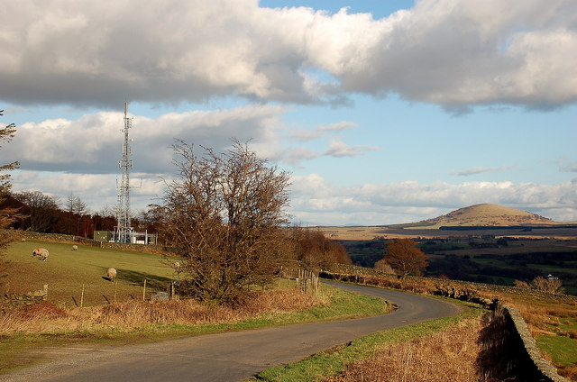
Image: © Jim Barton Taken: 5 Mar 2012
The minor road to Threlkeld just past High Row Farm with Great Mell Fell on the right and a mobile phone mast to balance it up to the left.
Images are licensed for reuse under creativecommons.org/licenses/by-sa/2.0
Image Location
Latitude
54.620844
Longitude
-3.066081