Walkford Brook
Introduction
The photograph on this page of Walkford Brook by mike smith as part of the Geograph project.
The Geograph project started in 2005 with the aim of publishing, organising and preserving representative images for every square kilometre of Great Britain, Ireland and the Isle of Man.

There are currently over 7.5m images from over 14,400 individuals and you can help contribute to the project by visiting https://www.geograph.org.uk
Walkford Brook
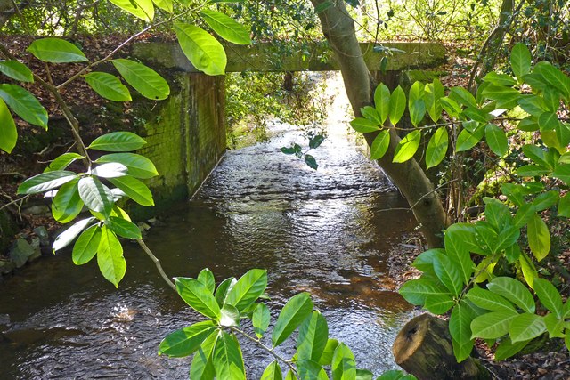
Image: © mike smith Taken: 8 Mar 2012
This stream has three main sources in the southern New Forest. For some of its distance it forms the boundary between Hampshire and Dorset, flowing through Chewton Bunny, before entering the sea at Highcliffe.
Images are licensed for reuse under creativecommons.org/licenses/by-sa/2.0
Image Location
Latitude
50.751197
Longitude
-1.681717