Halford Road
Introduction
The photograph on this page of Halford Road by Michael Dibb as part of the Geograph project.
The Geograph project started in 2005 with the aim of publishing, organising and preserving representative images for every square kilometre of Great Britain, Ireland and the Isle of Man.

There are currently over 7.5m images from over 14,400 individuals and you can help contribute to the project by visiting https://www.geograph.org.uk
Halford Road
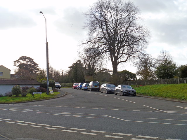
Image: © Michael Dibb Taken: 22 Jan 2012
This was once a much busier scene. This is Halford Road, once part of the A429 which crossed Banbury Road, the A422, at this point. The road now only serves the village.
Images are licensed for reuse under creativecommons.org/licenses/by-sa/2.0
Image Location
Latitude
52.138925
Longitude
-1.610999