The Drumadonnell/Drumgooland Cross in Castlewellan's Upper Square
Introduction
The photograph on this page of The Drumadonnell/Drumgooland Cross in Castlewellan's Upper Square by Eric Jones as part of the Geograph project.
The Geograph project started in 2005 with the aim of publishing, organising and preserving representative images for every square kilometre of Great Britain, Ireland and the Isle of Man.

There are currently over 7.5m images from over 14,400 individuals and you can help contribute to the project by visiting https://www.geograph.org.uk
The Drumadonnell/Drumgooland Cross in Castlewellan's Upper Square
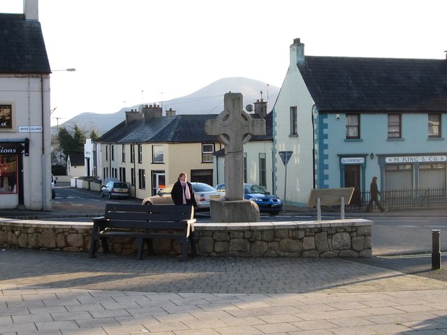
Image: © Eric Jones Taken: 22 Nov 2011
The summit of Slieve Donard, Northern Ireland's highest mountain can be seen in the background. http://irishantiquities.bravehost.com/down/castlewellan/drumadonnellcross.html
Images are licensed for reuse under creativecommons.org/licenses/by-sa/2.0
Image Location
Latitude
54.257425
Longitude
-5.941465