Union Chapel Detail
Introduction
The photograph on this page of Union Chapel Detail by David Dixon as part of the Geograph project.
The Geograph project started in 2005 with the aim of publishing, organising and preserving representative images for every square kilometre of Great Britain, Ireland and the Isle of Man.

There are currently over 7.5m images from over 14,400 individuals and you can help contribute to the project by visiting https://www.geograph.org.uk
Union Chapel Detail
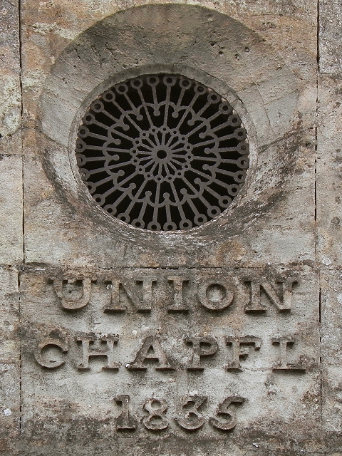
Image: © David Dixon Taken: 1 Mar 2012
The words "Union Chapel" and the date "1835" in raised relief stone lettering beneath the grille in the centre of the roof gable. See Image] for context.
Images are licensed for reuse under creativecommons.org/licenses/by-sa/2.0
Image Location
Latitude
51.691463
Longitude
-2.459276