Arnold Avenue in Charnock Hall
Introduction
The photograph on this page of Arnold Avenue in Charnock Hall by Jonathan Clitheroe as part of the Geograph project.
The Geograph project started in 2005 with the aim of publishing, organising and preserving representative images for every square kilometre of Great Britain, Ireland and the Isle of Man.

There are currently over 7.5m images from over 14,400 individuals and you can help contribute to the project by visiting https://www.geograph.org.uk
Arnold Avenue in Charnock Hall
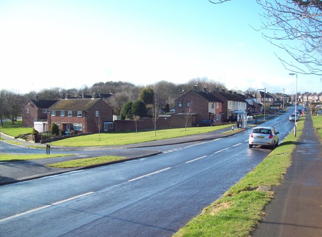
Image: © Jonathan Clitheroe Taken: 7 Mar 2012
Residential street seen at its junction with Stoneley Crescent to the left of picture. The tips of the trees in the distance are part of Stoneley Wood, an area of ancient woodland straddling the South Yorkshire/Derbyshire county boundary.
Images are licensed for reuse under creativecommons.org/licenses/by-sa/2.0
Image Location
Latitude
53.336826
Longitude
-1.420131