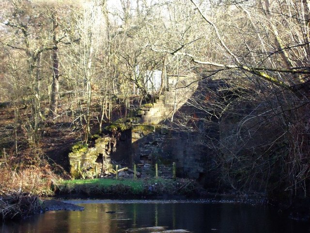
North Calder Water
Introduction
The photograph on this page of North Calder Water by Robert Murray as part of the Geograph project.
The Geograph project started in 2005 with the aim of publishing, organising and preserving representative images for every square kilometre of Great Britain, Ireland and the Isle of Man.
There are currently over 7.5m images from over 14,400 individuals and you can help contribute to the project by visiting https://www.geograph.org.uk

Image: © Robert Murray Taken: 4 Mar 2012
Taken from the river bed - which here in low water is about ankle deep - at its confluence with the Shotts Burn. The North Calder is on the left coming from the Monkland Glen and the Shotts Burn comes from the right after flowing under an old single arch span called Blackhouse Bridge (under threat of demolition due to its condition). For photo of the latter and local rambler Jim Casssidy's single handed campaign to save it see http://airdrierambler.wordpress.com/2011/03/04/right-of-way-under-threat-gartness-to-monklands-bridge/

