Fit for Amphibious Traffic
Introduction
The photograph on this page of Fit for Amphibious Traffic by Colin Smith as part of the Geograph project.
The Geograph project started in 2005 with the aim of publishing, organising and preserving representative images for every square kilometre of Great Britain, Ireland and the Isle of Man.

There are currently over 7.5m images from over 14,400 individuals and you can help contribute to the project by visiting https://www.geograph.org.uk
Fit for Amphibious Traffic
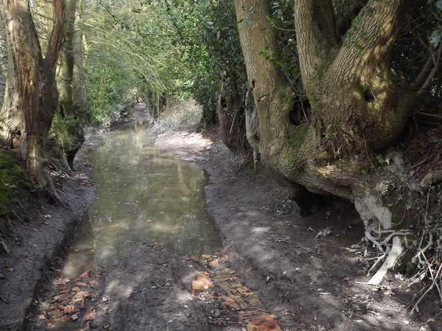
Image: © Colin Smith Taken: 6 Mar 2012
This wide byway by Sotherington Farm is now very badly rutted and surface water fills much of the slowly draining clay terrain. Walkers have found refuge by making a parallel path on the bank but even up here motor cyclists have caused further erosion.
Images are licensed for reuse under creativecommons.org/licenses/by-sa/2.0
Image Location
Latitude
51.09414
Longitude
-0.923391