Houses at Newmills
Introduction
The photograph on this page of Houses at Newmills by Derek Harper as part of the Geograph project.
The Geograph project started in 2005 with the aim of publishing, organising and preserving representative images for every square kilometre of Great Britain, Ireland and the Isle of Man.

There are currently over 7.5m images from over 14,400 individuals and you can help contribute to the project by visiting https://www.geograph.org.uk
Houses at Newmills
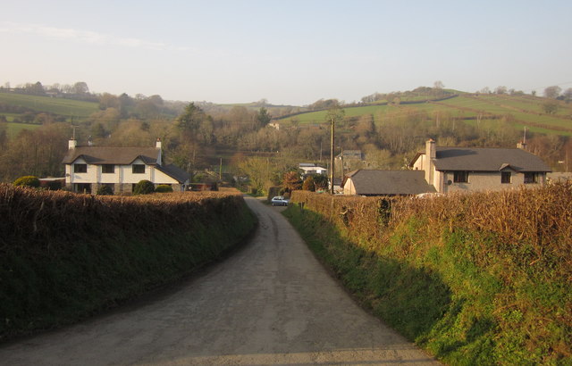
Image: © Derek Harper Taken: 2 Mar 2012
These are the houses shown in Image, looking along the lane to Truscott that runs between them, from its T-junction with the road along the Kensey valley.
Images are licensed for reuse under creativecommons.org/licenses/by-sa/2.0
Image Location
Latitude
50.638991
Longitude
-4.407079