Entering Cherry Green
Introduction
The photograph on this page of Entering Cherry Green by David Howard as part of the Geograph project.
The Geograph project started in 2005 with the aim of publishing, organising and preserving representative images for every square kilometre of Great Britain, Ireland and the Isle of Man.

There are currently over 7.5m images from over 14,400 individuals and you can help contribute to the project by visiting https://www.geograph.org.uk
Entering Cherry Green
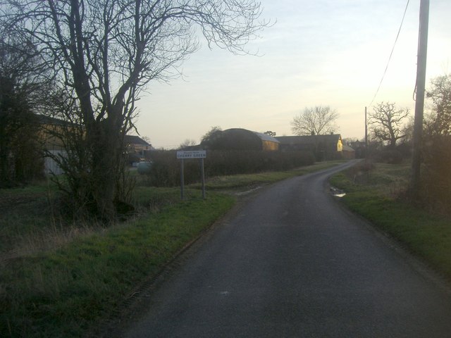
Image: © David Howard Taken: 6 Mar 2012
Apart from one house the other side of the village these are the total of buildings here between the boundary markers.
Images are licensed for reuse under creativecommons.org/licenses/by-sa/2.0
Image Location
Latitude
51.917471
Longitude
-0.030212