Marloch Avenue and Kilmacolm Road
Introduction
The photograph on this page of Marloch Avenue and Kilmacolm Road by Thomas Nugent as part of the Geograph project.
The Geograph project started in 2005 with the aim of publishing, organising and preserving representative images for every square kilometre of Great Britain, Ireland and the Isle of Man.

There are currently over 7.5m images from over 14,400 individuals and you can help contribute to the project by visiting https://www.geograph.org.uk
Marloch Avenue and Kilmacolm Road
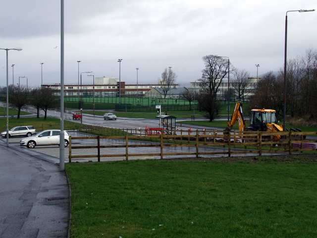
Image: © Thomas Nugent Taken: 27 Feb 2012
Maloch Avenue is in the foreground, with Kilmacolm Road and Arran Avenue in the background. The school buildings in the background were originally Port Glasgow High School and later St Stephens High School. They are now shared by both schools until the new schools (behind the photographer) are constructed.
Images are licensed for reuse under creativecommons.org/licenses/by-sa/2.0
Image Location
Latitude
55.922564
Longitude
-4.65593