Fields near the Fosse Way
Introduction
The photograph on this page of Fields near the Fosse Way by Nigel Mykura as part of the Geograph project.
The Geograph project started in 2005 with the aim of publishing, organising and preserving representative images for every square kilometre of Great Britain, Ireland and the Isle of Man.

There are currently over 7.5m images from over 14,400 individuals and you can help contribute to the project by visiting https://www.geograph.org.uk
Fields near the Fosse Way
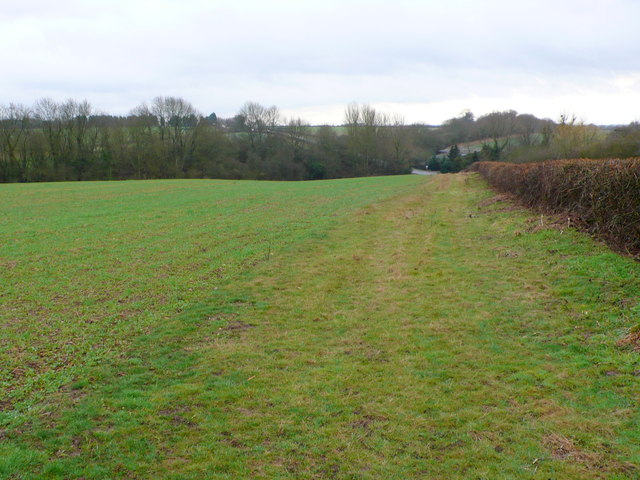
Image: © Nigel Mykura Taken: 4 Mar 2012
The Fosse Way is just behind the hedge on the right and can be seen in the distance as well. This is the point where it crosses the old track bed of the dismantled Leamington to Rugby railway line whose line is marked by the dense bushes.
Images are licensed for reuse under creativecommons.org/licenses/by-sa/2.0
Image Location
Latitude
52.292206
Longitude
-1.451017