Hunningham Hill
Introduction
The photograph on this page of Hunningham Hill by Nigel Mykura as part of the Geograph project.
The Geograph project started in 2005 with the aim of publishing, organising and preserving representative images for every square kilometre of Great Britain, Ireland and the Isle of Man.

There are currently over 7.5m images from over 14,400 individuals and you can help contribute to the project by visiting https://www.geograph.org.uk
Hunningham Hill
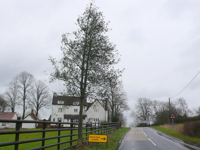
Image: © Nigel Mykura Taken: 4 Mar 2012
View up the hill from the Hunningham direction towards the cross roads where the Fosse Way runs across from left to right.
Images are licensed for reuse under creativecommons.org/licenses/by-sa/2.0
Image Location


Leaflet Map data © OpenStreetMap
Latitude
52.30349
Longitude
-1.441638