Flood relief retaining wall, Sandford Park
Introduction
The photograph on this page of Flood relief retaining wall, Sandford Park by Terry Jacombs as part of the Geograph project.
The Geograph project started in 2005 with the aim of publishing, organising and preserving representative images for every square kilometre of Great Britain, Ireland and the Isle of Man.

There are currently over 7.5m images from over 14,400 individuals and you can help contribute to the project by visiting https://www.geograph.org.uk
Flood relief retaining wall, Sandford Park
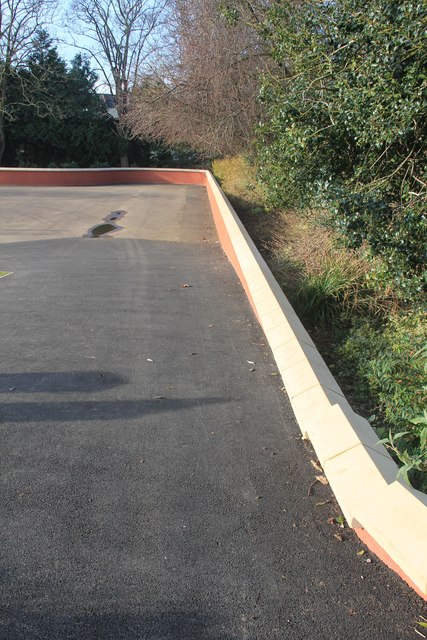
Image: © Terry Jacombs Taken: 6 Mar 2012
This retaining wall around the Sandford Park play area was constructed as part of the flood relief works in the middle 2000s.
Images are licensed for reuse under creativecommons.org/licenses/by-sa/2.0
Image Location
Latitude
51.894908
Longitude
-2.071015