Minor Road near Townend of Caprington
Introduction
The photograph on this page of Minor Road near Townend of Caprington by wfmillar as part of the Geograph project.
The Geograph project started in 2005 with the aim of publishing, organising and preserving representative images for every square kilometre of Great Britain, Ireland and the Isle of Man.

There are currently over 7.5m images from over 14,400 individuals and you can help contribute to the project by visiting https://www.geograph.org.uk
Minor Road near Townend of Caprington
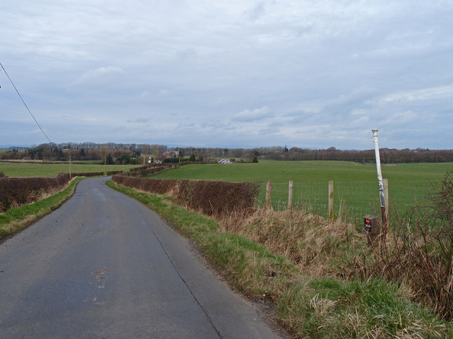
Image: © wfmillar Taken: 6 Mar 2012
Looking towards Earlston. White pole on the right is an underground cable marker.
Images are licensed for reuse under creativecommons.org/licenses/by-sa/2.0
Image Location
Latitude
55.582312
Longitude
-4.525781