An upstream view of the course of the River Og, Ogbourne St Andrew, near Marlborough
Introduction
The photograph on this page of An upstream view of the course of the River Og, Ogbourne St Andrew, near Marlborough by Brian Robert Marshall as part of the Geograph project.
The Geograph project started in 2005 with the aim of publishing, organising and preserving representative images for every square kilometre of Great Britain, Ireland and the Isle of Man.

There are currently over 7.5m images from over 14,400 individuals and you can help contribute to the project by visiting https://www.geograph.org.uk
An upstream view of the course of the River Og, Ogbourne St Andrew, near Marlborough
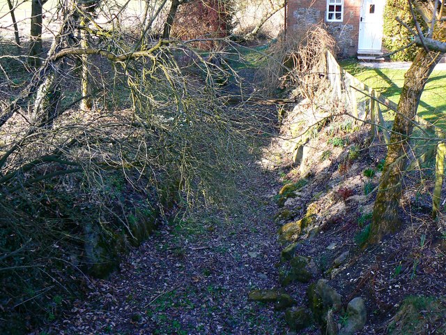
Image: © Brian Robert Marshall Taken: 5 Mar 2012
The river has dried up completely and has been in this condition for months. At this time of year it should be running freely from its source in the downs south of Swindon. A mild and relatively dry winter has reduced it to this lifeless state.
Images are licensed for reuse under creativecommons.org/licenses/by-sa/2.0
Image Location


Leaflet Map data © OpenStreetMap
Latitude
51.443715
Longitude
-1.731894