Lane to Pinslow
Introduction
The photograph on this page of Lane to Pinslow by Derek Harper as part of the Geograph project.
The Geograph project started in 2005 with the aim of publishing, organising and preserving representative images for every square kilometre of Great Britain, Ireland and the Isle of Man.

There are currently over 7.5m images from over 14,400 individuals and you can help contribute to the project by visiting https://www.geograph.org.uk
Lane to Pinslow
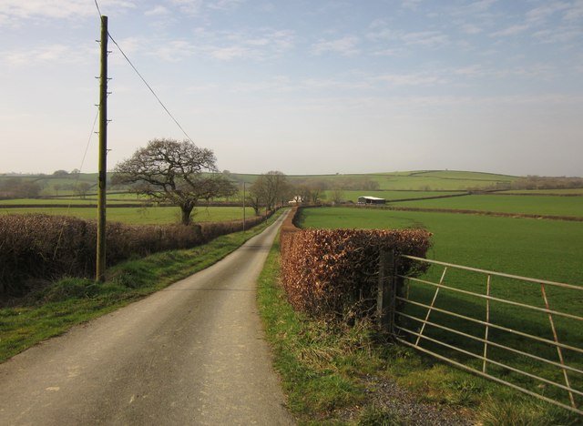
Image: © Derek Harper Taken: 2 Mar 2012
The lane from Box's Shop descending towards the valley of a tiny tributary of the Tamar. At the barn and cottages, the lane swings sharply left while the farm track to Pinslow continues ahead.
Images are licensed for reuse under creativecommons.org/licenses/by-sa/2.0
Image Location
Latitude
50.685088
Longitude
-4.329589