A388 at Hawkadon
Introduction
The photograph on this page of A388 at Hawkadon by Derek Harper as part of the Geograph project.
The Geograph project started in 2005 with the aim of publishing, organising and preserving representative images for every square kilometre of Great Britain, Ireland and the Isle of Man.

There are currently over 7.5m images from over 14,400 individuals and you can help contribute to the project by visiting https://www.geograph.org.uk
A388 at Hawkadon
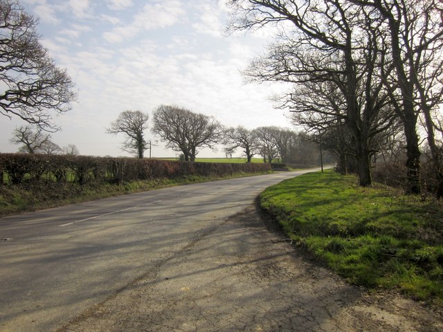
Image: © Derek Harper Taken: 2 Mar 2012
The oaks left of centre are by the farm road into Hawkadon Farm.
Images are licensed for reuse under creativecommons.org/licenses/by-sa/2.0
Image Location
Latitude
50.680349
Longitude
-4.323692