Lane junction, Lawhitton Barton
Introduction
The photograph on this page of Lane junction, Lawhitton Barton by Derek Harper as part of the Geograph project.
The Geograph project started in 2005 with the aim of publishing, organising and preserving representative images for every square kilometre of Great Britain, Ireland and the Isle of Man.

There are currently over 7.5m images from over 14,400 individuals and you can help contribute to the project by visiting https://www.geograph.org.uk
Lane junction, Lawhitton Barton
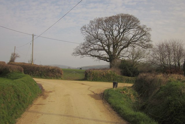
Image: © Derek Harper Taken: 2 Mar 2012
The lane from Lawhitton to Carzantic swings left here, witrh the entrance to Lawhitton Barton on the right. The lane is followed by the Tamar Valley Discovery Trail.
Images are licensed for reuse under creativecommons.org/licenses/by-sa/2.0
Image Location
Latitude
50.622261
Longitude
-4.318423