Junction of Long Lane and Brownshill Green Rd
Introduction
The photograph on this page of Junction of Long Lane and Brownshill Green Rd by Nigel Mykura as part of the Geograph project.
The Geograph project started in 2005 with the aim of publishing, organising and preserving representative images for every square kilometre of Great Britain, Ireland and the Isle of Man.

There are currently over 7.5m images from over 14,400 individuals and you can help contribute to the project by visiting https://www.geograph.org.uk
Junction of Long Lane and Brownshill Green Rd
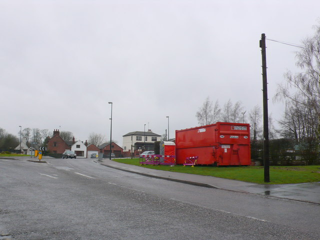
Image: © Nigel Mykura Taken: 4 Mar 2012
Originally quite a small junction this is now quite a large roundabout with the Coundon Wedge Drive running south from it. Long lane is in the background going off on the right.
Images are licensed for reuse under creativecommons.org/licenses/by-sa/2.0
Image Location


Leaflet Map data © OpenStreetMap
Latitude
52.439426
Longitude
-1.547752