Clara Crescent Lower, Belfast (2)
Introduction
The photograph on this page of Clara Crescent Lower, Belfast (2) by Albert Bridge as part of the Geograph project.
The Geograph project started in 2005 with the aim of publishing, organising and preserving representative images for every square kilometre of Great Britain, Ireland and the Isle of Man.

There are currently over 7.5m images from over 14,400 individuals and you can help contribute to the project by visiting https://www.geograph.org.uk
Clara Crescent Lower, Belfast (2)
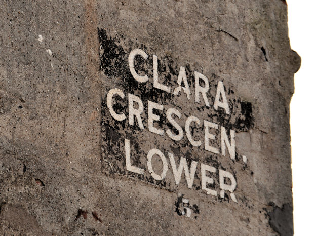
Image: © Albert Bridge Taken: 5 Mar 2012
The name sign at the Greenville Road end of Clara Crescent Lower Image The peeling black background was painted. The letters are raised and seem to have been applied individually – an unusual style of street sign.
Images are licensed for reuse under creativecommons.org/licenses/by-sa/2.0
Image Location
Latitude
54.592291
Longitude
-5.888552