Junction and farmland at Blackacres
Introduction
The photograph on this page of Junction and farmland at Blackacres by Graham Horn as part of the Geograph project.
The Geograph project started in 2005 with the aim of publishing, organising and preserving representative images for every square kilometre of Great Britain, Ireland and the Isle of Man.

There are currently over 7.5m images from over 14,400 individuals and you can help contribute to the project by visiting https://www.geograph.org.uk
Junction and farmland at Blackacres
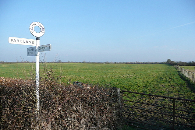
Image: © Graham Horn Taken: 1 Mar 2012
The fingerpost pinpoints the relevant junction. The land for miles around is flat, mainly arable, farmland, although this appears to be used as a pasture.
Images are licensed for reuse under creativecommons.org/licenses/by-sa/2.0
Image Location


Leaflet Map data © OpenStreetMap
Latitude
51.63192
Longitude
-1.471157